Baia Tutorial
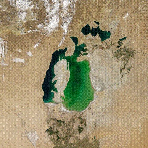
Baia is a system for creating animated transitions between a source and a target satellite images, such as the animation below that illustrates the drying of the Aral Sea.
The following videos address all the necessary steps for using these animation primitives, and creating more advanced transitions that e.g., restrict the scope of an animation or feature multiple stages:
Creating a simple transition
How to create a new Before/After Transition?
How to add masks?
How to use the Color Threshold selection tool?
How to use the Lasso selection tool?
Staging
How to change the duration of a stage?
How to add stages?
How to use other animation primitives?
How to reorder stages?
Aesthetics
How to create a blurred border?
How to create a new Before/After Transition?
Back to topHow to add masks?
Back to topHow to use the Color Threshold selection tool?
Back to topHow to use the Lasso selection tool?
Back to topHow to change the duration of an animation?
Back to topHow to add stages?
Back to topHow to use other animation primitives?
Back to topHow to modify the temporal arrangement of stages?
Back to topHow to create a blurred border?
Back to topUsing other animation primitives
Baia features some other Animation Primitives than Blend and Expand that help to convey different geographical phenomena:
| Blend: Homogenous blend between the two images. |  |
| Contract: Contraction of a geographic region into a target geographic region. | 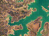 |
| Expand: Expansion of a geographic region into a target geographic region. | 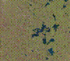 |
| Deform: Deformation of a geographic region into a target geographic region. It is equivalent to apply an Expansion and a Contraction |  |
| Morph: Morphing between two geographical regions, using their vector contours. | 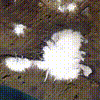 |
| Radial Out:Progressive revealing of the target image from a specific point. |  |
| Radial In: Progressive revealing of the target image from the image’s frame to a specific point. |  |
| Direction: Progressive revealing of the target image along a specified direction. |  |